Tradução e análise de palavras por inteligência artificial ChatGPT
Nesta página você pode obter uma análise detalhada de uma palavra ou frase, produzida usando a melhor tecnologia de inteligência artificial até o momento:
- como a palavra é usada
- frequência de uso
- é usado com mais frequência na fala oral ou escrita
- opções de tradução de palavras
- exemplos de uso (várias frases com tradução)
- etimologia
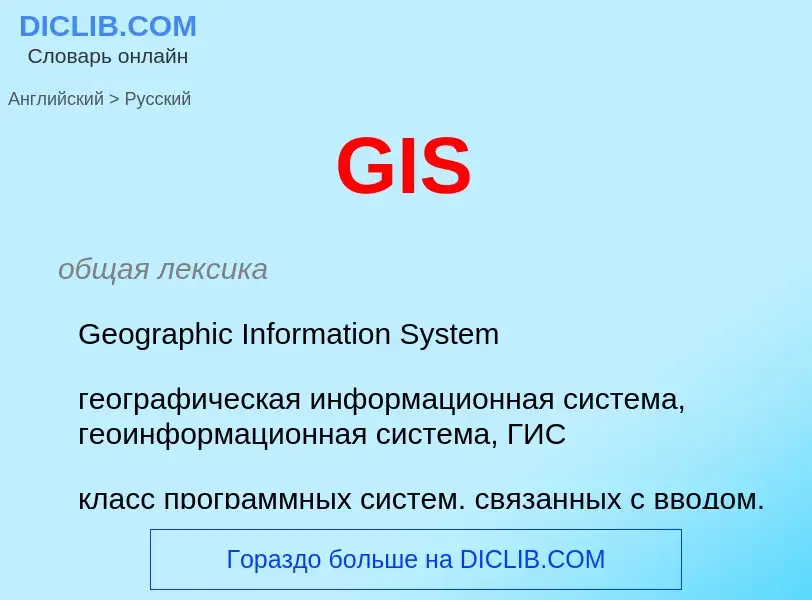
GIS - tradução para russo
общая лексика
Geographic Information System
географическая информационная система, геоинформационная система, ГИС
класс программных систем, связанных с вводом, обработкой, хранением и отображением пространственных данных, таких, как карты местности, планы, схемы и т.п.
Wikipédia

A geographic information system (GIS) consists of integrated computer hardware and software that store, manage, analyze, edit, output, and visualize geographic data. Much of this often happens within a spatial database, however, this is not essential to meet the definition of a GIS. In a broader sense, one may consider such a system also to include human users and support staff, procedures and workflows, the body of knowledge of relevant concepts and methods, and institutional organizations.
The uncounted plural, geographic information systems, also abbreviated GIS, is the most common term for the industry and profession concerned with these systems. It is roughly synonymous with geoinformatics and part of the broader geospatial field, which also includes GPS, remote sensing, etc. Geographic information science, the academic discipline that studies these systems and their underlying geographic principles, may also be abbreviated as GIS, but the unambiguous GIScience is more common. GIScience is often considered a subdiscipline of geography within the branch of technical geography.
Geographic information systems are utilized in multiple technologies, processes, techniques and methods. They are attached to various operations and numerous applications, that relate to: engineering, planning, management, transport/logistics, insurance, telecommunications, and business. For this reason, GIS and location intelligence applications are at the foundation of location-enabled services, which rely on geographic analysis and visualization.
GIS provides the capability to relate previously unrelated information, through the use of location as the "key index variable". Locations and extents that are found in the Earth's spacetime are able to be recorded through the date and time of occurrence, along with x, y, and z coordinates; representing, longitude (x), latitude (y), and elevation (z). All Earth-based, spatial–temporal, location and extent references should be relatable to one another, and ultimately, to a "real" physical location or extent. This key characteristic of GIS has begun to open new avenues of scientific inquiry and studies.


![Hillshade model derived from a [[digital elevation model]] of the Valestra area in the northern Apennines (Italy) Hillshade model derived from a [[digital elevation model]] of the Valestra area in the northern Apennines (Italy)](https://commons.wikimedia.org/wiki/Special:FilePath/Dem.jpg?width=200)
![forest inventories]], monitoring and mapping. forest inventories]], monitoring and mapping.](https://commons.wikimedia.org/wiki/Special:FilePath/Field-Map birdie.jpg?width=200)

![John Snow]]'s 1855 map of the [[Soho]] [[cholera]] outbreak showing the clusters of cholera cases in the [[London]] epidemic of 1854 John Snow]]'s 1855 map of the [[Soho]] [[cholera]] outbreak showing the clusters of cholera cases in the [[London]] epidemic of 1854](https://commons.wikimedia.org/wiki/Special:FilePath/Snow-cholera-map.jpg?width=200)

![25th Infantry Division]] in the jungle of [[Vella Lavella]] during [[Operation Cartwheel]] (13 September 1943). 25th Infantry Division]] in the jungle of [[Vella Lavella]] during [[Operation Cartwheel]] (13 September 1943).](https://commons.wikimedia.org/wiki/Special:FilePath/SC180577t.jpg?width=200)
